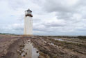
The start: Southerness lighthouse
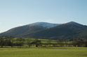
Criffel Hill seen ahead
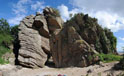
The Thirlstane
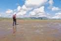
Powillimont shore
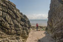
The Devil Stone
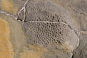
Fossil coral, Borran Point
Kirkbean Glen

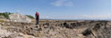
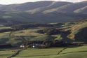
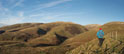
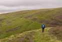
Criffel south flank
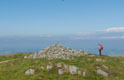
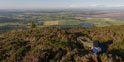
Criffel summit
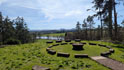
bivvy on Knockendoch
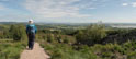
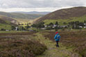
descent from Knockendoch
Criffel and Knockendoch
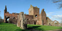
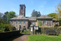
Sweetheart Abbey
forest road after New Abbey
Mabie Forest
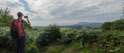
Criffel from Mabie
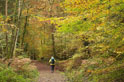
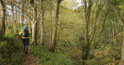
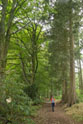
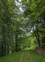
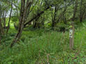
In Mabie Forest
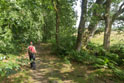
In Mabie Forest
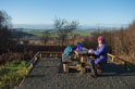
Nith View Trail
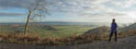
Descent from Mabie
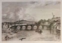
Devorgilla Bridge, Dumfries
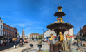
Dumfries Midsteeple
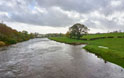
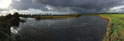
River Nith leaving Dumfries
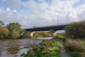
Dumfries Bypass first bridge
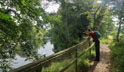
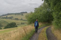
Burns Walk
River Nith, Carnshalloch
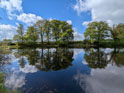
Dalswinton Loch
Journey Garden
Dalswinton Estate
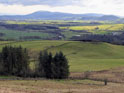
Criffel from the Mulloch
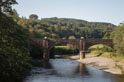
Old bridge, Auldgirth
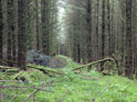
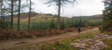
overgrown forest track after High Auldgirth
forest road final section
gate out of the woods
farm track, Auchencairn
Track to Croalchapel
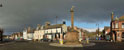
Thornhill
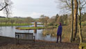
Dabton Loch
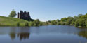
Morton Castle
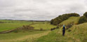
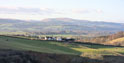
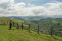
Morton Hills
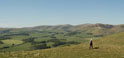
Morton Mains Hill
Durisdeer from the Morton Hills
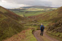
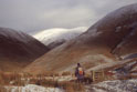
Glenaggart leads down to Durisdeer
Durisdeer Kirk
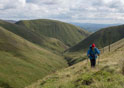
above Enterkin Burn
approaching Enterkin Pass
Enterkin Pass foot
Enterkin Pass
exit from Enterkin Pass
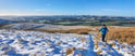
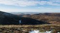
on Lowther Hill
descent to Wanlockhead