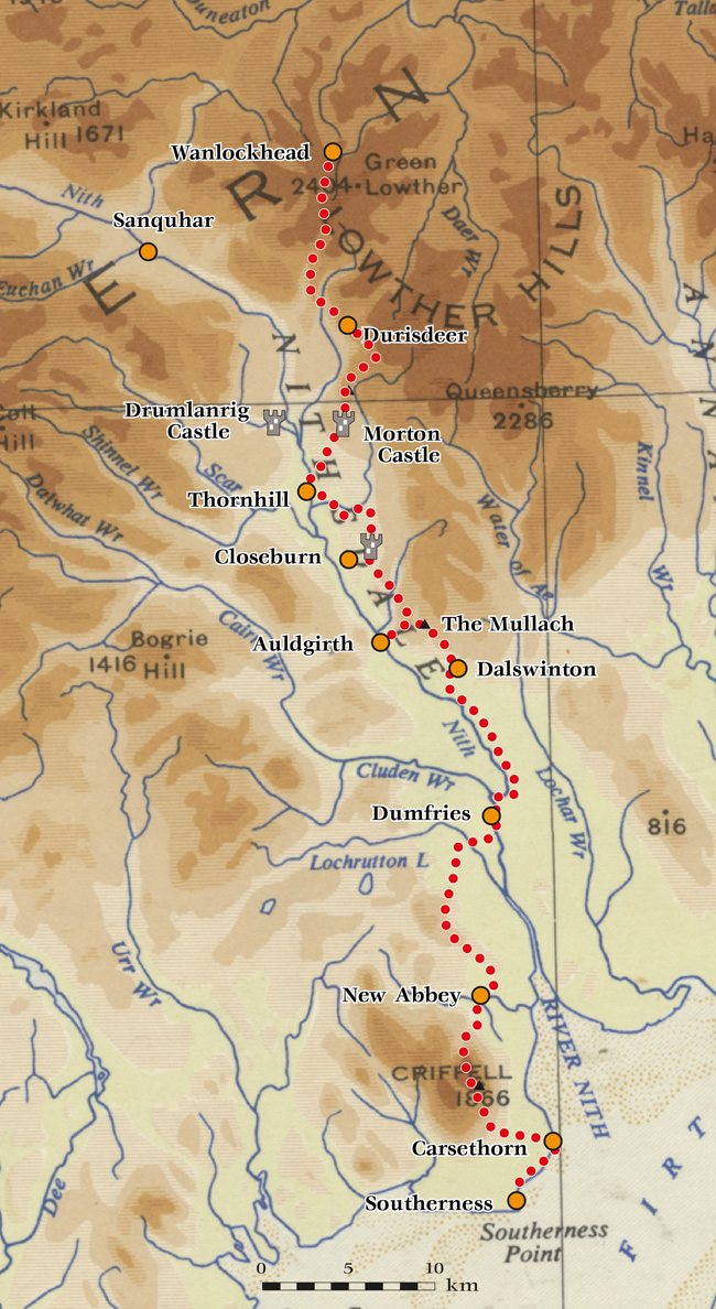
A Nithsdale Way
A 105km informal walking route from Southerness to Scotland's highest village, Wanlockhead
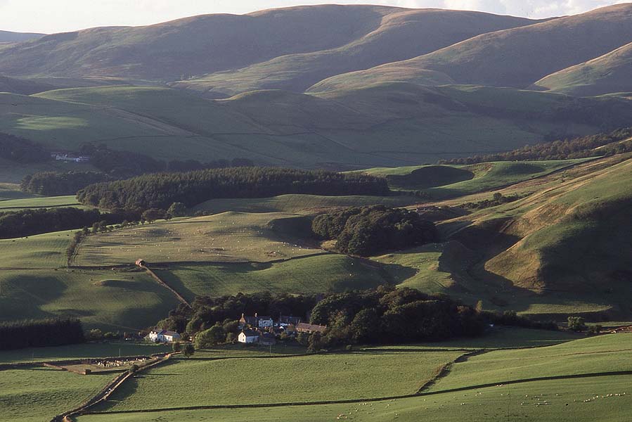
When it comes to a long-distance path, Nithsdale has certain geographical advantages. The upper valley is narrow, making it easier to take the path up off the valley floor. We have a splendid middle-size hill in Criffel standing right above the sea. We have woodlands, a major river, farm tracks and small grassy hills. And, for a finish, the historic Enterkin Pass.
The 105km (2500m total ascent) is long enough to count as ‘long-distance’; from the sea to Scotland's highest village feels like a proper journey. But it's short enough to be comfortably doable inside a week's holiday: short enough to dash off and do when five fine days show up in the forecast.
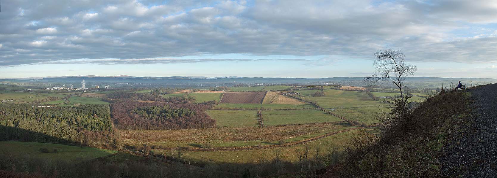
In putting together the route, I've tried to minimise public roads: there's 10.5km of them here, all of them quiet ones apart from 300m on the verge of A702. I've also tried to minimise walking in plantations (about 8km). I've looked for paths and tracks raised above the valley floor, for wide views; as well as Criffel (569m) there are four smaller hills around 300m, and the Enterkin Pass again at almost 600m. There are five small lakes, one big river, two castles, two ruined abbeys, a marble mausoleum and a Mediaeval bridge.
In terms of variety and views, I think this Nithsdale Way is up there with any UK trail: and I say that as a fan of St Cuthbert's Way and the Wainwright coast-to-coast. Where it may fall down is on overnight accommodation. Small country inns are closing all the time: since I first walked this, we've lost the Auldgirth Inn. However sites like Booking.com show several accommodation possibilites including some intermediate points like Mabie Forest and Durisdeer. For Wanlockhead it's also worth checking the Southern Upland Way accommodation page. The Hopetoun Arms at Leadhills has offered a pick-up service for walkers.
Every staging point has a good or at least usable bus service to Dumfries or Thornhill or both, while Wanlockhead has a bus to the rail station at Sanquhar.
More than half of the walk is on local authority core paths, with occasional waymarking. Elsewhere the route may be pathless, and sometimes rough underfoot. In summer especially, sections over fields may have cattle, possibly running with a bull – divert into a neighbouring field.
South to North is my default direction. Walk with your back to the prevailing winds; coast to highest village is more inspiring than the other way around; and the Enterkin Pass makes a grand climax.
I've explored the route over several years, but improvements may still be possible (the high line over the Mullach only came on stream in 2026). Under Scottish access law anyone may walk the route if following the Scottish Access Code.
Secateurs
Less used paths may become overgrown in high summer – especially in Section 3. A pair of secateurs could be useful here and there, and cutting back the odd encroaching bramble is a useful public service. Treading on newly grown bracken fronds is also very worthwhile.
Using the gps files
I've uploaded the GPS files into Google Maps below (due to the shape of the Earth it's a differnt file format for Google). But it would be safer as well as easier to use proper Ordnance Survey mapping. Easiest is to register for the OS Maps app and website. From the main menu it's ‘Routes’ and ‘import GPS’. Save to ‘my routes’ and it will then appear on the phone app. (Remember to ‘save offline’ or it may vanish again if you lose phone signal.) You get a fairly basic map, a bit better than Google, or subscription about £35/year to get full OS mapping.
The route is published on the OutdoorAccess platform here . Do send comments, corrections and suggestions via my Contact page.
Nithsdale Way 2026 GPX file
Stage 4 higher route GPX file
Stages 3 and 4 possible route via Dunscore and Kier Hills GPX file
Desktop: Click to download and upload the file to your desktop or ‘downloads’ folder. Open the OS Maps app in its browser version. From the main menu it's ‘Routes’ and ‘import GPS’. Save to ‘my routes’ and it will then appear on the phone app. (Remember to ‘save offline’ or it may vanish again if you lose phone signal.)
Mobile phone: Once downloaded, open OS Maps or your preferred navigation app, go to ‘Routes’ or ‘Settings’, select Import, and choose the downloaded .gpx file from your device's Files folder. Again, remember to ‘save offline’.
If using this link for navigating the route via your phone, it's best to download the area as an ‘Offline Map’ inside your Google Maps app before you set off. Otherwise if you lose phone signal, your map will vanish off the screen.
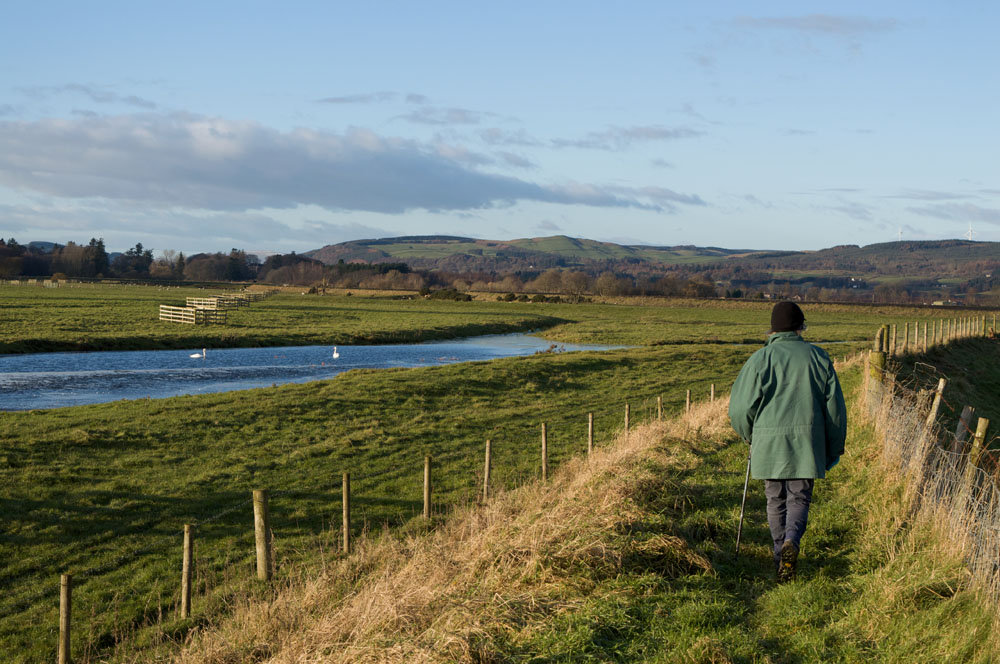
Stage 1: Southerness to Carsethorn (7km)
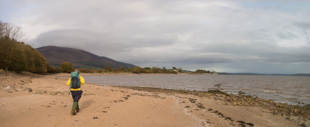
Solway shore, somewhat rocky
The 18th-century lighthouse marks the start. After the Thirlstane rock arch, the foreshore to Carsethorn is mudflats and low cliffs. At Borron Point, a huge granite boulder, the Devil Stone, has been brought by a glacier from somewhere on Criffel. The limestone beds it's lying on show fossil corals and shells.
Route notes
After Powillimont: if the tide's in, there's a small awkward path above foreshore rocks. At extreme high tide with onshire wind, or if you're a US naval history buff, then instead take tracks 500m inland past John Paul Jones Cottage museum.
Last walked 2022
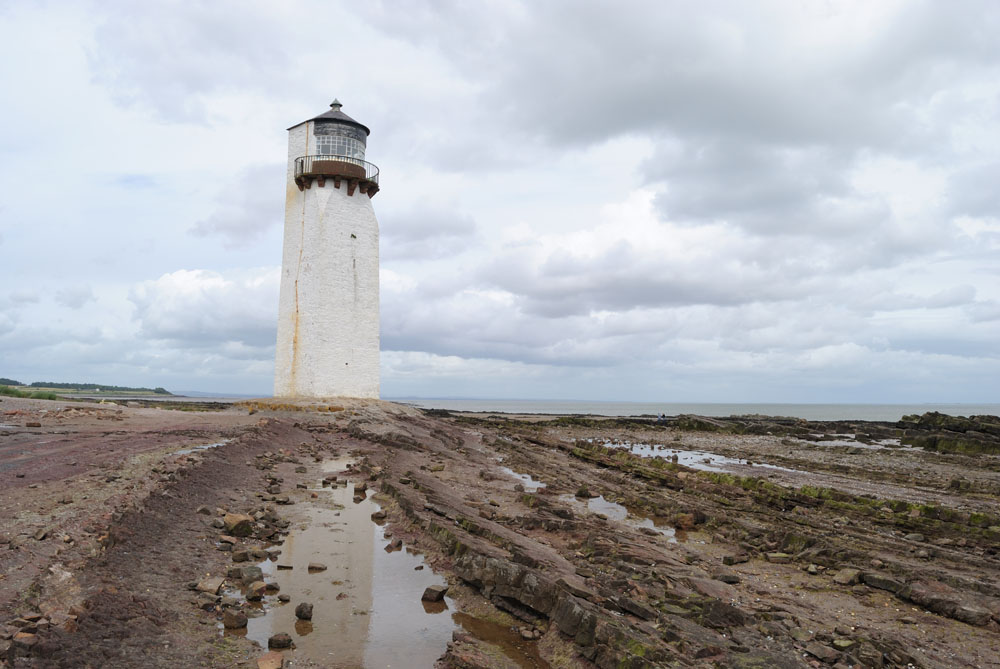
Southerness Lighthouse
The second oldest in Scotland, marking the start of the trail.
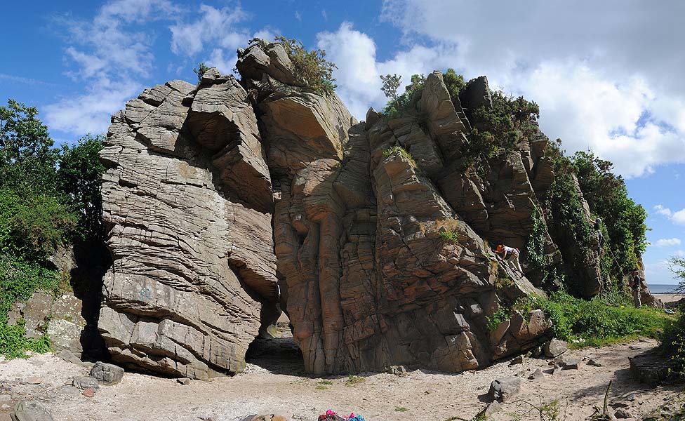
The Thirlstane
sandstone sea-arch. The route can go through it if the tide's low enough, giving access to the foreshore.
Foreshore walking
The going is easier at low tide
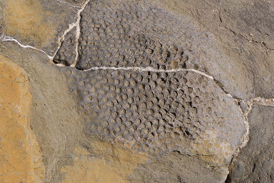
Fossil coral
Carboniferous coral, found in the limestone beds at Borron Point
Stage 2: Carsethorn to New Abbey
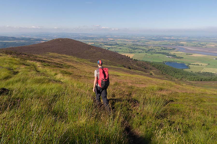
Over Criffel (12.5km 550m ascent)
After 2km of quiet road, Kirkbean Glen is a charming wooded gorge. Field edges then lead up to open hill. The ascent to Drumburn is impressive, with granite boulders and great views over the Solway. But it is rough and pathless to the 300m contour, where a small path forms. Placing of waymark posts here would assure a bit of a path, taming the current roughness of the lower slope.
The crossing of Criffel is on established paths, recently repaired, with very fine views. The descent off Knockendoch is unimproved though. A path beside the abbey leads into New Abbey village.
Route notes
Above Kirkbean Glen, if fields have livestock it's also possible to head up to left of the Kirkbean Burn.
Last walked 2022
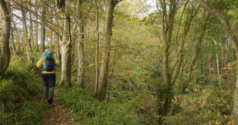
Kirkbean Glen
The wooded path runs above a little stream gorge.
heading up Criffel
The going is rough and currently pathless, but with views across to England
Down Criffel towards New Abbey
A better path for the descent
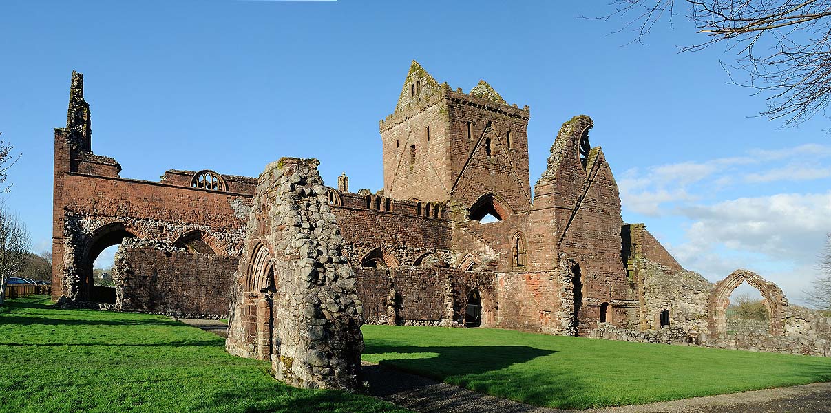
Sweetheart Abbey
The handsome ruin pictured before the scaffolding went up...
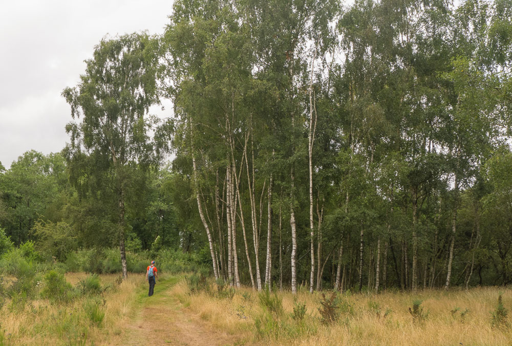
Stage 3: New Abbey to Dumfries (23.5km 400m ascent)
Mabie Forest, mostly
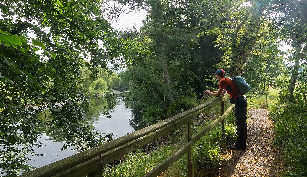
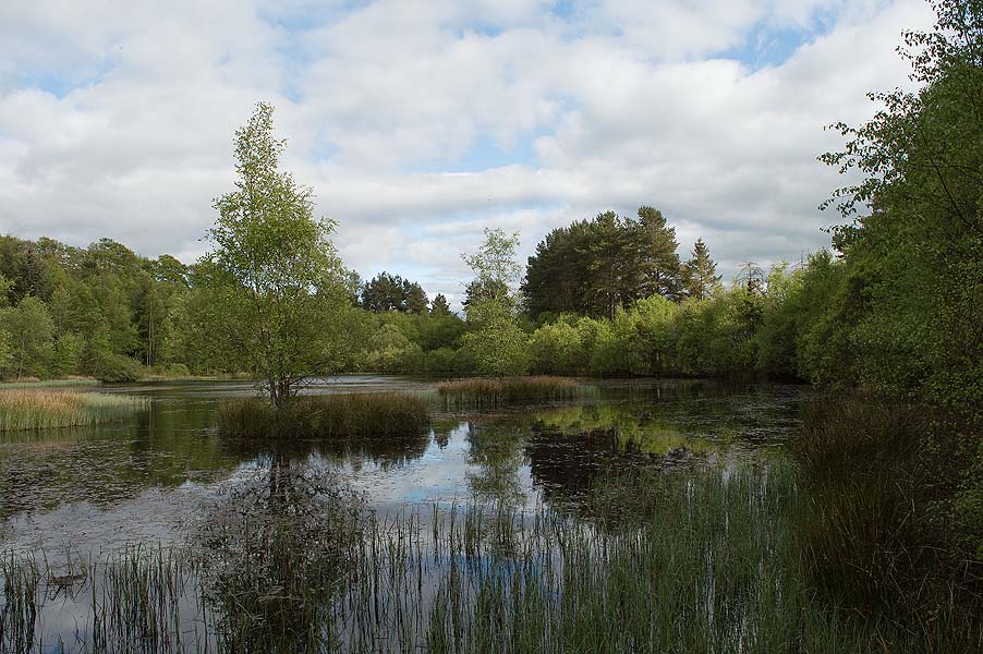
After Shambellie Wood, there's 4km on gravel tracks through plantations, some enclosed and some clear felled with views of the countryside. Eventually woodland leads past a glimpse of Lochaber Loch.
Paths through Mabie Forest are under broadleaf woodland, then in the open (Nith View Trail) with wide views to east and north. However the descent to the field called Baaauldie's Brae is 10m of head-high bracken, an awkward moment that it'd be great to have cleared for us by Land & Forestry Scotland!
Past the slightly interesting St Queran's Well, it's minor road and field footpath to Troqueer. Enter Dumfries along the tidal River Nith.
Route notes
On leaving New Abbey, there's a short section in woods alongside (to right of) the river before joining the side road. Then there's a path through woods just to right of the road.
Alternatively, there's an small old path above Shambellie House, along the crest of Barlay Hill, with some wide views. But the final 600m have been obliterated by clear-felling: still passable, but with some annoying piles of brushwood.
The turnoff left from the forest road (footpath signpost) is initially a small path between trees.
Leaving Mabie Forest. descend from Nith View Trail to Bauldie's Brae at the second viewpoint bench: a short bracken belt and a fallen-down fence. There's an alternative exit by Mabie Farm Park and alongside the western edges of Kiln Hill Plantation.
Last walked 2026
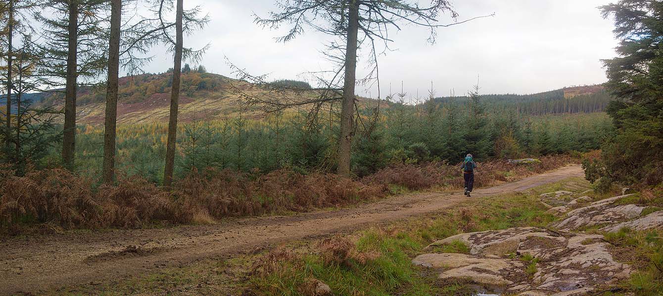
Forest road towards Mabie
The gravel track is fast going, and has some views.
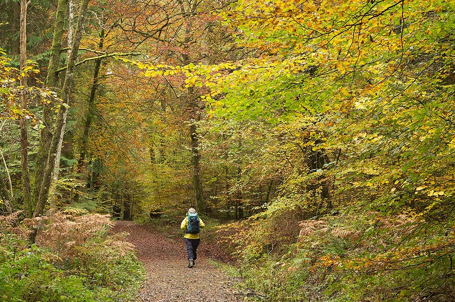
Autumn in Mabie Forest
A well managed woodland with broadleaf trees and little lochans
Nith View Trail, Mabie
Great views from the bench on the escarpment edge. The path down from this point is rough going though.
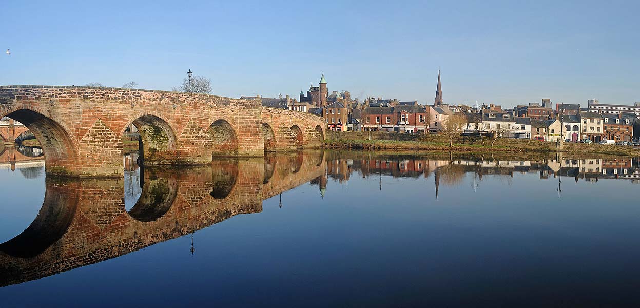
Devorgilla Bridge, Dumfries
In its day it was the longest bridge in Europe! The route has to cross it, obviously. Dumfries like most former market towns is rather run down but has handsome buildings including Robert Burns memorials and museums.
Stage 4: Dumfries to High Auldgirth
The big river and a small hill (19.5km 250m)
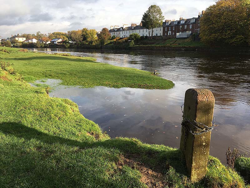
Exit over the 14th-century Devorgilla Bridge. The riverside path is “Burns' Walk”, under the town bypass three times and passing opposite Lincluden Abbey ruins.
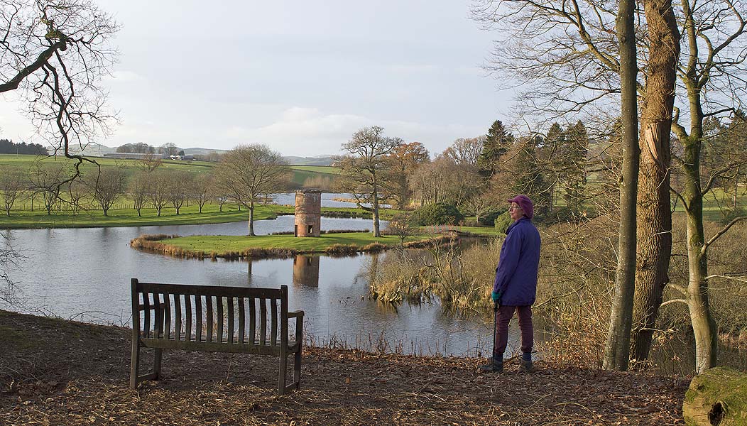
Fast walking on flood banks alongside River Nith leads to Dalswinton Estate with its charming loch and strange ‘tin tabernacle’. A high line over The Mullach (250m or so) gives some great views before a couple of pathless fields lead to High Auldgirth.
Here you can press on for Thornhill, a long day of 30km; or descend to Auldgirth village at the riverside below.
Route notes
At Dalscone (after the third bypass bridge) you'll turn sharp left through a scrap yard to find the waymarked gate onto the flood embankment.
If the core path along the embankment is overgrown, you can usually take to fields on its left.
2km afther Carnshalloch, on rejoining the river drop to a grass track to left of the embankment. This leads into a section through a fine pinewood.
At the stile out of woods on the approach to Sandbed, you'll have to roll under three single-strand electric fences. The more direct track to right of Sandbed is a short-cut if cattle are at the riverside.
If descending to Auldgirth at the end of this section, the tracks down to right of the tarmac lane have better views.
Last walked 2026
NB Auldgirth Inn, effectively closed. Blumen café Dalswinton, Wed – Sun, on the route but not on Google maps.
Leaving Dumfries
Just outside the picture, the 'Queen of the South Viaduct' takes you across the river
Burns' Walk
On the outskirts of Dumfries, the poet's preferred path. He wrote a poem to the River Nith.
River Nith
A long, fast stage, with the slightly raised flood banking giving extended views
Open birchwoods
A few kilometres short of Sandbed and the Dalswinton Estate.
Dalswinton Loch
Heading away from River Nith through Dalswinton Estate. The first ever steam-powered boat voyage was on this small loch: the path passes the remains of the boat itself.
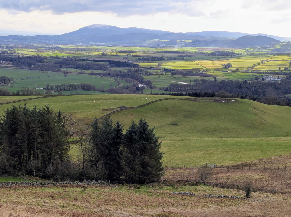
The Mullach
After a nearly flat morning's walking, and a stop at the Dalswinton cafe, the climb to 245m lets you look all the way back to Criffel.
Stage 5: High Auldgirth to Thornhill
plantations and farm tracks (15km 250m)
A slightly less interesting section, with the first 3km through plantations (though with occasional views), then on farm tracks. You pass the pele tower of Closeburn Castle, and then Thornhill's golf course.
A more challenging high-level route if starting from Auldgirth rather then Dumfries: take in Barnmuir Hill (206m) before descending alongside the spectacular Crichope Linn, a sandstone slot canyon. The gorge path is awkward and quite exposed.
Route notes
At 700m after High Auldgirth, the former track marked on Explorer maps is overgrown with moss and invisible from the main track. Turn down left immediately before a line of tall beech trees to find it. The foot of the track has fallen trees: bear right to avoid these.
If using the more challenging alternative route, one section of path above Crichope Linn is narrow on crumbling surface above a high drop. The gps track diverts up to the right to avoid this.
Last walked 2026
Links to Google Maps (they might work...)
Track near Auchencairn
Having emerged from the plantations
Track to Croalchapel
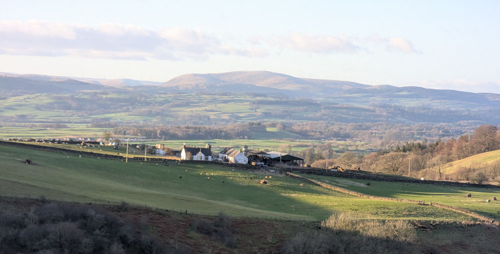
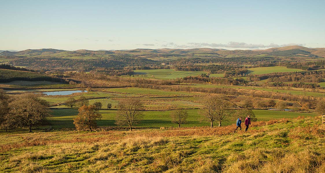
The tarmac farm track has views over mid-Nithsdale.
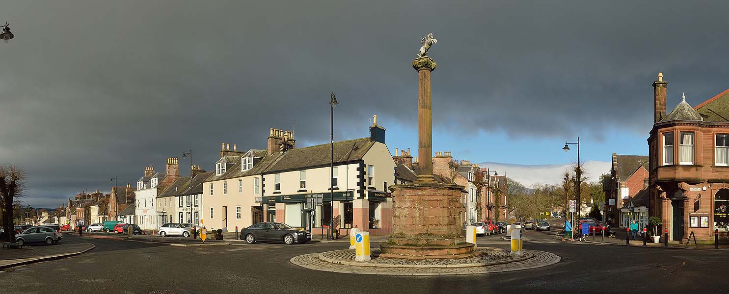
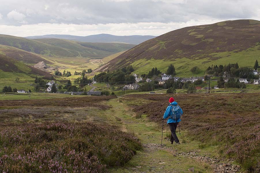
Thornhill
This charming village centres around a pillar with a winged horse on top.
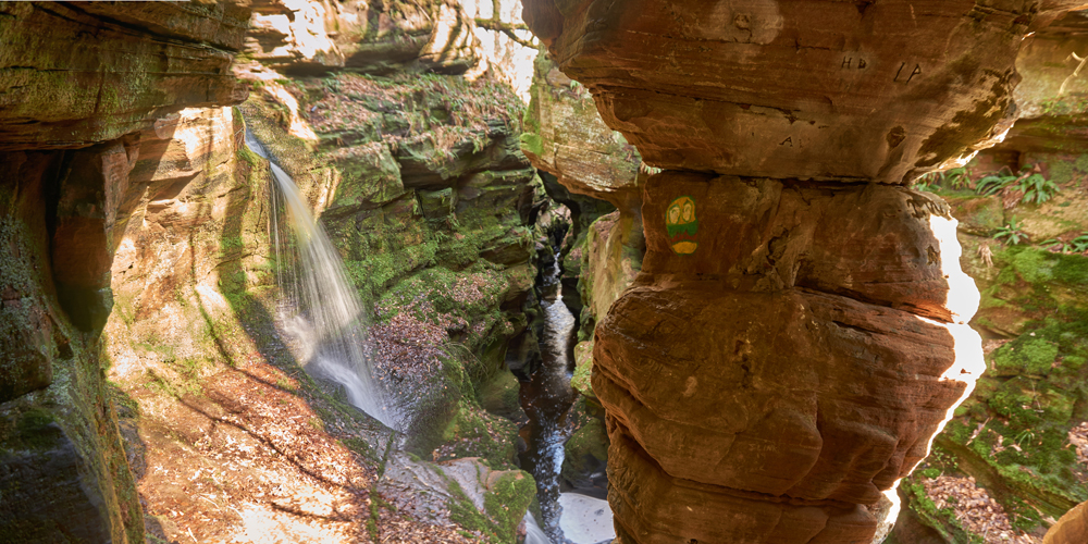
Crichope Linn
The alternative route here has narrow paths, sometimes above drops, some fallen trees to clamber over or under, and spectacular rock formations.
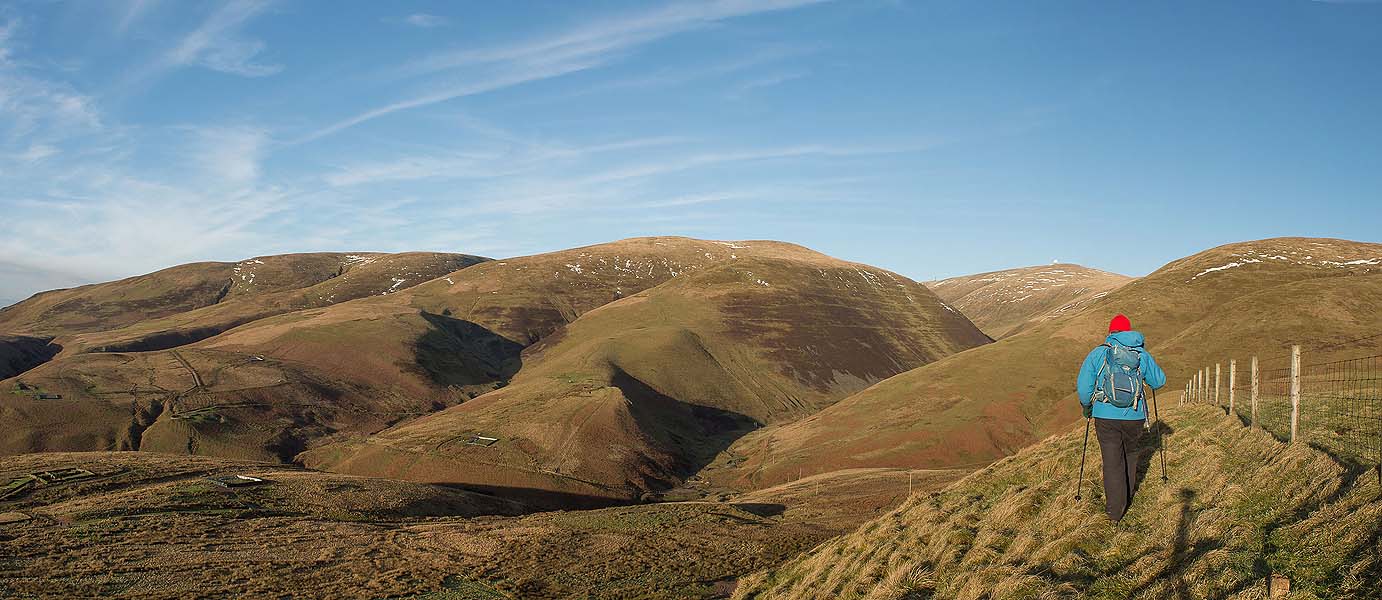
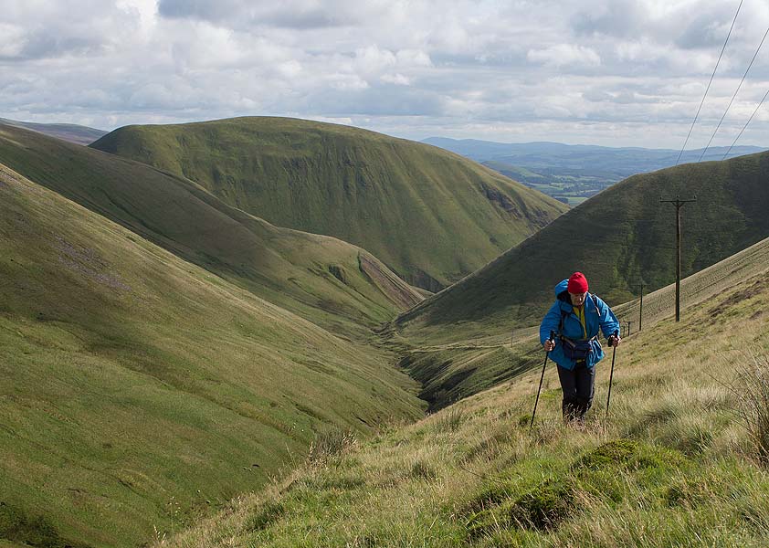
Stage 6: Thornhill to Wanlockhead
Morton Hills and the Enterkin Pass
A grand but challenging day. It can be divided at Durisdeer or the A702, where there are one or two buses back to Thornhill.
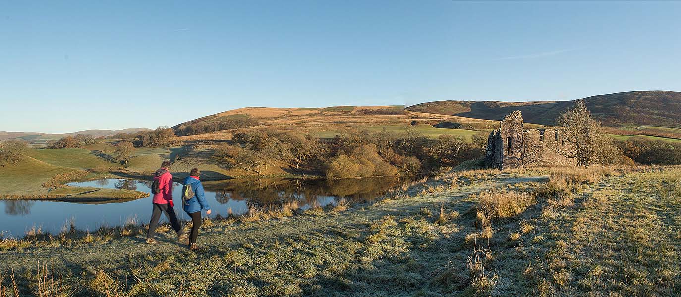
Valley floor woods and plantations lead by Lower Morton Loch to Morton Castle. You then cross Morton Mains Hill (328m) and two more steepsided grassy ones to Kettleton Byre bothy. An old track down steepsided little Glenaggart leads to the historic village of Durisdeer. The mausoleum of the Dukes of Buccleuch, found behind the church, will surprise you.
Minor roads lead to the main A702 at Durisdeer Mill.
The Enterkin Pass is an old right-of-way (used by Bonnie Prince Charlie, Covenanters and others) first on a grassy ridgeline above Enterkin Burn, then up a deep little glen climbing to a high pass (570m, jointly with Criffel the high point of the route). A high path across moorland hillslopes leads down to Wanlockhead.
Alternative a bit shorter; west bank of River Nith to Drumlanrig woods (Andy Goldsworthy sculpture) and castle; recross Nith and A76 for field tracks of high pasture and small woods north to Thrushlands at the start of Enterkin Pass.
Route notes
From the loch in Morton Wood, the short ascent to left of a fence is pathless and involves clambering over a fallen beech tree.
In case of cattle at Morton Mains, you can instead head directly uphill from the dam end of Morton Loch, onto the ridge of Morton Mains Hill.
After crossing A702, the plantation and wood above Chapel Farm is pathless: make the best way you can through the trees due west.
Approach to Enterkin Pass: after 500m northwards above Enterkin Burn, the old right-of-way passes up Rashy Hill to left of a fence and hedge, then slants down on the path line marked on the map. This is the nicer way but may now be seriously overgrown, and instead a new track slants down left to run alongside the stream itself. The track fords the stream 8 or 10 times. The first two have footbridges; then look out for a footbridge on the left and stay on the left-hand (west) bank.
The old path heading up the narrow valley to Enterkin Pass top is vanishing into the grass, but just follow the electric wires, staying a few metres below them.
Last walked 2026
Lower Morton Loch
The rather sinister little pool in the initial woodlands after leaving Thornhill
Morton Castle
Beyond the castle you'll climb over the low hill seen up to the left. Placed in the elbow of the valley, Morton Mains Hill has great views.
Morton Mains Hill
The lower slope of the hill, already with views back across the valley
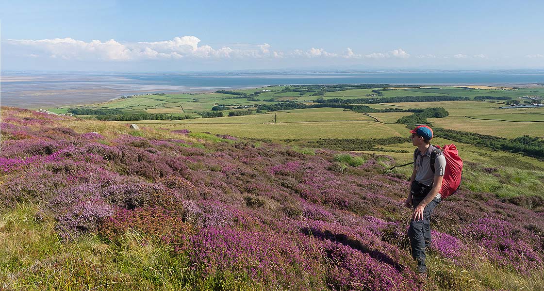
On Morton Mains Hill
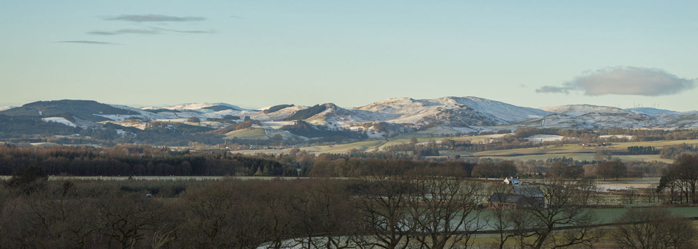
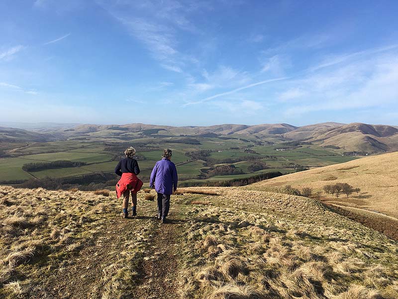
Looking ahead to the northern Lowthers. Enterkin Pass is the gap towards the right-hand side.
Durisdeer from above
View down to Durisdeer from the third of the Morton Hills
Into Enterkin Pass
The ridge above Enterkin Burn heading towards Enterkin Pass. In summer, going is easier on gravel tracks above the stream down to left of the ridge.
Enterkin Pass
The long climb up the pass, following some electricity lines
Wanlockhead
The final descent follows the waymarked Southern Upland Way